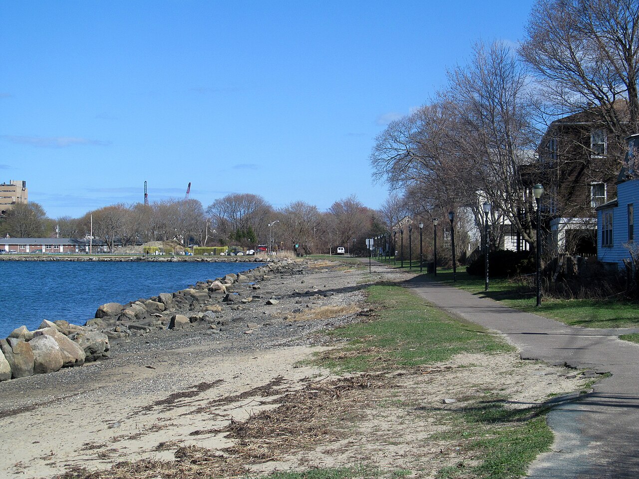
Collins Cove Path
A paved path along the water at Collins Cove, from Bridge Street to Derby Street, where the Fort Avenue bike lane goes on toward Salem Willows. The first part follows an old rail spur.
- Length
- 0.9 mi
- rail trail
- Surface
- Paved
- Get on at
- 4 places
- on the map
From Bridge Street to Derby Street
Parking at 1 of the 4 places to get on · See where
Open. No closures as of Nov 18, 2026.
Where to get on
Numbers match the list; P has parking.
Download the GPXFor Ride with GPS, Strava, Komoot or a bike computer.
Bridge Street (at Webb Street)
West end of the path. Cross Bridge Street here to reach the Bridge Street Path and Salem station. Bluebikes station 'Bridge Street Neck' is about 60 m away.
- MBTA bus 451 on Bridge Street at Saunders Street.
Szetela Lane, Collins Cove
East end of the waterfront part of the path.
- Small lot on city land at Collins Cove, off Szetela Lane.
Derby Street (at Fort Avenue)
End of the Harbor Connector Path. The Fort Avenue protected bike lane goes on toward Winter Island and Salem Willows. Bluebikes station 'Salem Ferry Landing' is about 360 m south.
- The seasonal Salem Ferry to Boston leaves from the ferry landing on Blaney Street, about 400 m south.
Getting there
- By transit
- From Salem station (Newburyport/Rockport Line), take the Bridge Street Path about half a mile north to Bridge Street and Webb Street.
MoreLess
MBTA bus 451 runs on Bridge Street near the west end.
- Bike share
Near Bridge Street, right now
- Bridge Street Neck1 min walk · 4 bikes
Near Derby Street, right now
- Salem Ferry Landing4 min walk · 5 bikes
- Parking
- A small lot on city land at Collins Cove, off Szetela Lane.
Keep going
The Collins Cove Path joins other paths and protected bike lanes. Pick a direction to see it on the map.
Collins Cove Path Where you can keep going Other bike paths
About the Collins Cove Path
- Surface
- Paved (asphalt).
- Who looks after it
- City of Salem.
- Also called
- Peter Tracy Walkway, Harbor Connector Path, Collins Cove Rail Trail
More about the trail
- Official page · salemma.gov
Where these facts come fromChecked Nov 18, 2026
- salemma.gov/1219/2020-Szetela-Lane-Salem-Harbor-Connector
- salemma.gov/922/harbor-connector-path-sculpture-garden
- salemma.gov/DocumentCenter/View/1877/Salem-Bicycle-Master-Plan-PDF
- trailspotting.com/2022/12/marblehead-salem-rail-trails-ma.html
- trailmap.mapc.org
- openstreetmap.org/way/190835187
- openstreetmap.org/way/799251764
- gbfs.bluebikes.com/gbfs/en/station_information.json