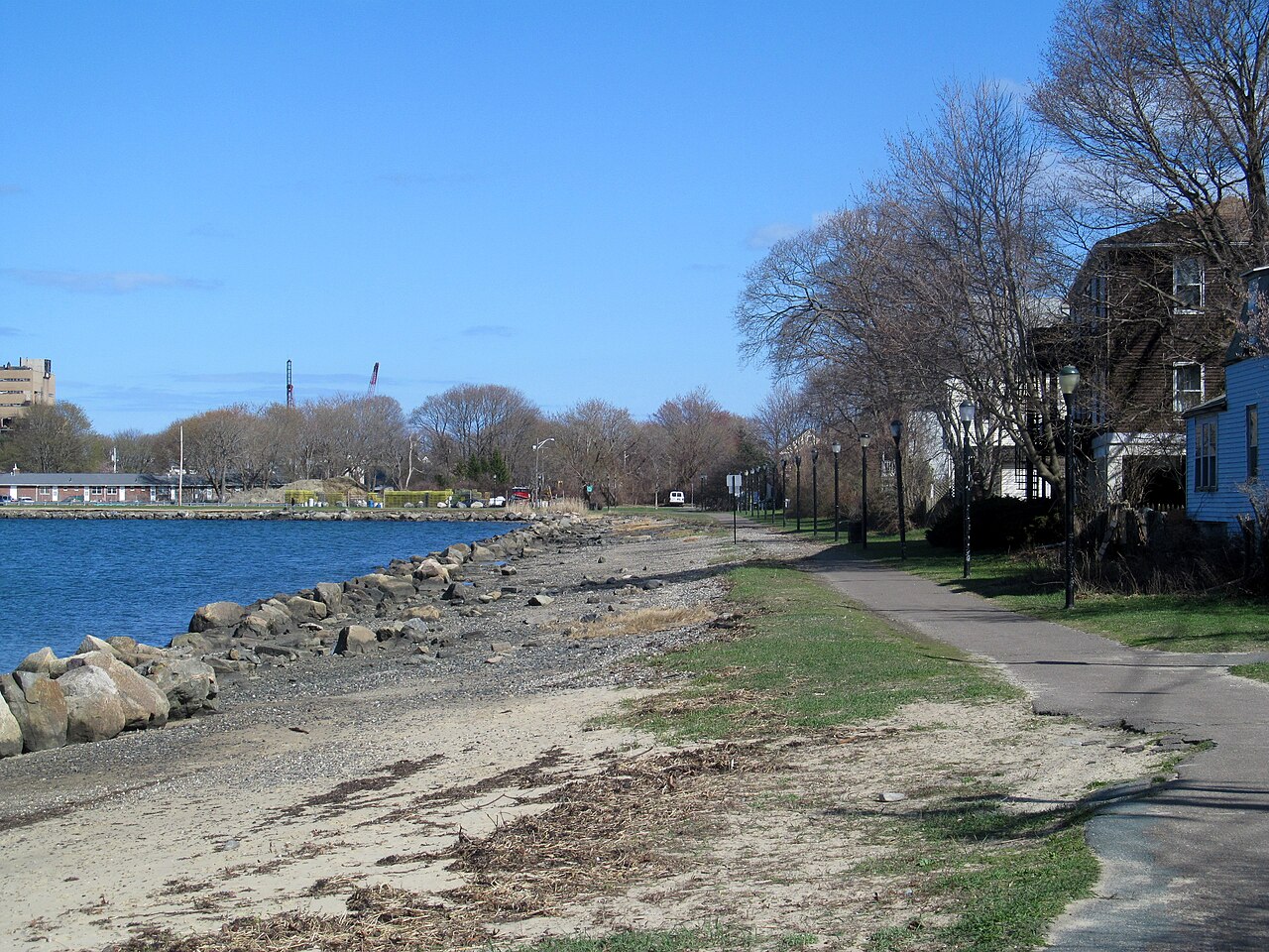
Collins Cove Path
A paved path along the water at Collins Cove, from Bridge Street to Derby Street, where the Fort Avenue bike lane goes on toward Salem Willows. The first part follows an old rail spur.
- Distância
- 0.9 mi
- rail trail
- Piso
- Pavimentado
- Onde entrar
- 4 lugares
- no mapa
De Bridge Street a Derby Street
Estacionamento em 1 dos 4 lugares para entrar · Ver onde
Aberta. Sem interdições em 18 de nov. de 2026.
Onde entrar
Os números correspondem à lista; P tem estacionamento.
Baixar o GPXPara Ride with GPS, Strava, Komoot ou um ciclocomputador.
Bridge Street (at Webb Street)
West end of the path. Cross Bridge Street here to reach the Bridge Street Path and Salem station. Bluebikes station 'Bridge Street Neck' is about 60 m away.
- MBTA bus 451 on Bridge Street at Saunders Street.
Szetela Lane, Collins Cove
East end of the waterfront part of the path.
- Small lot on city land at Collins Cove, off Szetela Lane.
Derby Street (at Fort Avenue)
End of the Harbor Connector Path. The Fort Avenue protected bike lane goes on toward Winter Island and Salem Willows. Bluebikes station 'Salem Ferry Landing' is about 360 m south.
- The seasonal Salem Ferry to Boston leaves from the ferry landing on Blaney Street, about 400 m south.
Como chegar
- De transporte público
- From Salem station (Newburyport/Rockport Line), take the Bridge Street Path about half a mile north to Bridge Street and Webb Street.
MaisMenos
MBTA bus 451 runs on Bridge Street near the west end.
- Bicicletas compartilhadas
Perto de Bridge Street, agora
- Bridge Street Necka 1 min a pé · 4 bicicletas
Perto de Derby Street, agora
- Salem Ferry Landinga 4 min a pé · 5 bicicletas
- Estacionamento
- A small lot on city land at Collins Cove, off Szetela Lane.
Continue
Collins Cove Path se liga a outros caminhos e ciclovias protegidas. Escolha uma direção para ver no mapa.
Collins Cove Path Por onde continuar Outras ciclovias
Sobre Collins Cove Path
- Piso
- Paved (asphalt).
- Quem cuida
- City of Salem.
- Também chamada
- Peter Tracy Walkway, Harbor Connector Path, Collins Cove Rail Trail
Mais sobre a trilha
- Página oficial · salemma.gov
De onde vêm estas informaçõesVerificado em 18 de nov. de 2026
- salemma.gov/1219/2020-Szetela-Lane-Salem-Harbor-Connector
- salemma.gov/922/harbor-connector-path-sculpture-garden
- salemma.gov/DocumentCenter/View/1877/Salem-Bicycle-Master-Plan-PDF
- trailspotting.com/2022/12/marblehead-salem-rail-trails-ma.html
- trailmap.mapc.org
- openstreetmap.org/way/190835187
- openstreetmap.org/way/799251764
- gbfs.bluebikes.com/gbfs/en/station_information.json