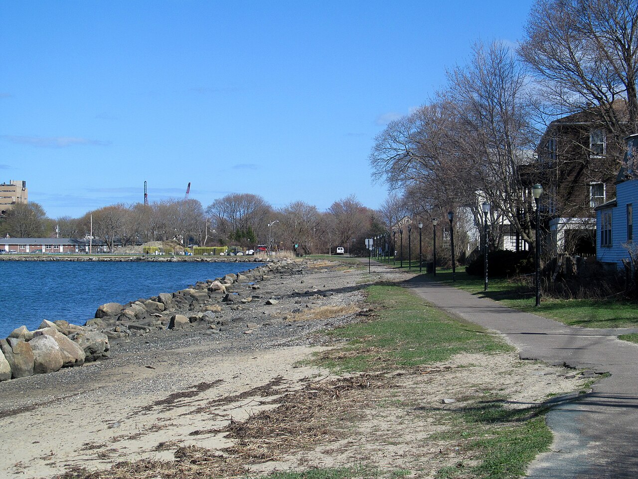
Collins Cove Path
A paved path along the water at Collins Cove, from Bridge Street to Derby Street, where the Fort Avenue bike lane goes on toward Salem Willows. The first part follows an old rail spur.
- 长度
- 0.9 英里
- rail trail
- 路面
- 铺装路面
- 入口
- 4 处
- 见地图
从Bridge Street到Derby Street
4 个入口中有 1 个可停车 · 查看位置
开放。 截至 2026年11月18日 无封闭。
从哪里进入
Bridge Street (at Webb Street)
West end of the path. Cross Bridge Street here to reach the Bridge Street Path and Salem station. Bluebikes station 'Bridge Street Neck' is about 60 m away.
- MBTA bus 451 on Bridge Street at Saunders Street.
Szetela Lane, Collins Cove
East end of the waterfront part of the path.
- Small lot on city land at Collins Cove, off Szetela Lane.
Derby Street (at Fort Avenue)
End of the Harbor Connector Path. The Fort Avenue protected bike lane goes on toward Winter Island and Salem Willows. Bluebikes station 'Salem Ferry Landing' is about 360 m south.
- The seasonal Salem Ferry to Boston leaves from the ferry landing on Blaney Street, about 400 m south.
如何到达
- 乘公交
- From Salem station (Newburyport/Rockport Line), take the Bridge Street Path about half a mile north to Bridge Street and Webb Street.
展开收起
MBTA bus 451 runs on Bridge Street near the west end.
- 共享单车
Bridge Street附近(实时)
- Bridge Street Neck步行 1 分钟 · 4 辆车
Derby Street附近(实时)
- Salem Ferry Landing步行 4 分钟 · 5 辆车
- 停车
- A small lot on city land at Collins Cove, off Szetela Lane.
继续前行
Collins Cove Path与其他步道和受保护的自行车道相连。选择一个方向,在地图上查看。
Collins Cove Path 可以继续的路线 其他自行车道
关于Collins Cove Path
- 路面
- Paved (asphalt).
- 管理单位
- City of Salem.
- 别名
- Peter Tracy Walkway, Harbor Connector Path, Collins Cove Rail Trail
更多步道信息
- 官方页面 · salemma.gov
这些信息的来源2026年11月18日 核实
- salemma.gov/1219/2020-Szetela-Lane-Salem-Harbor-Connector
- salemma.gov/922/harbor-connector-path-sculpture-garden
- salemma.gov/DocumentCenter/View/1877/Salem-Bicycle-Master-Plan-PDF
- trailspotting.com/2022/12/marblehead-salem-rail-trails-ma.html
- trailmap.mapc.org
- openstreetmap.org/way/190835187
- openstreetmap.org/way/799251764
- gbfs.bluebikes.com/gbfs/en/station_information.json