Shift Towns · Massachusetts
Walking, biking & transit in Belmont
See the routes Belmont neighbors actually walk, ride and take transit on, what's happening locally, and how the town is trending — built from real trips logged in the Shift app.
Keep a pulse on Belmont. New street projects, meetings worth your voice, and how Belmont is moving. One or two emails a month.
Get involved in Belmont
Safer streets are made by neighbors who speak up. Start small:
Public Meeting | Bus Network Redesign Proposed Updates: Route 70 and Connecting Routes (Virtual)
The MBTA is asking riders to weigh in on proposed changes to Route 70 and connecting bus routes serving Waltham, Watertown, Newton, Arlington, Cambridge, Belmont, and Needham.
Attend the virtual meeting→- Report a street problemBelmont 311 "Report It" Service Request Portal→
- See traffic safety projectsBelmont Transportation Advisory Committee (TAC)→
- Find the next meeting agendaBelmont Agenda Center→
In Belmont
Advocacy groups
- Belmont Citizens Forum — A Belmont-based volunteer community group that publishes a local newsletter and pushes for limiting traffic growth, improving pedestrian safety, and building the Belmont Community Path.
Commuter perks & fare help
- Alewife TMA – Royal Belmont shuttle — A commuter shuttle run by the Alewife Transportation Management Association that connects the Royal Belmont and Cambridge Discovery Park to Alewife Station during morning and evening commute hours, with a Belmont Center stop on request.
Your transportation department
- Belmont DPW Roads & Sidewalks — The Department of Public Works page covering town roads and sidewalks, including who to contact about repairs and maintenance at 19 Moore Street.
- Belmont DPW Highway Division — The division that patches and maintains Belmont's roughly 78 miles of public streets and 97 miles of sidewalks, paints crosswalks and lane lines, and handles snow clearing.
Regional & statewide groups, 7 more
Advocacy groups
- LivableStreets Allianceregional — The Metro Boston advocacy group for people-centered streets and transit, whose research and comment letters cover projects across the region.
- TransitMattersstatewide — The transit advocacy group pushing for faster, more reliable buses and trains across Greater Boston, with data-driven campaigns anyone can join.
- Transportation for Massachusetts (T4MA)statewide — A statewide coalition of community groups advocating for safe, affordable, and reliable transportation choices in every corner of the state.
- WalkMassachusettsstatewide — The statewide walking advocacy organization that leads walk audits and pedestrian-safety campaigns, with open network meetings on Zoom the third Wednesday of each month.
- MassBikestatewide — The statewide bicycling coalition — a way to plug into bike advocacy, group rides, and Bike Month events across Greater Boston and beyond.
Commuter perks & fare help
- MBTA reduced faresstatewide — Reduced-fare programs for seniors, riders with disabilities, people aged 18–25 on low incomes, and middle and high school students. Most cut the fare roughly in half.
Get updates
- MBTA accessibility alertsstatewide — Live notices when an elevator or escalator is out of service, plus how to arrange a shuttle when one is. Worth subscribing to if a lift is part of how you get to the platform.
Events near Belmont
A few picks over the next 30 days — the full calendar has everything.
Queers on Wheels Shop Night
Wed, Nov 11 · Somerville Bike Kitchen · 4.1 mi away
FreeLGBTQ+Flat Fixing
Tue, Nov 17 · BU Cycle Kitchen · 4.1 mi away
FreeBeginner-friendlyStudentsTool Time: Bike Repair Open Shop
Thursdays · next Thu, Nov 19 · Bikes Not Bombs Hub · 6.6 mi away
FreeBeginner-friendlyFamily-friendlyWeekly Multigroup Community Sunset Walk at Fresh Pond+optional dinner 3:15pm EST
Sundays · next Sun, Nov 8 · Aberdeen Ave & Huron Ave, Cambridge, MA 02138 · 2.1 mi away
FreeFamily-friendlyBeginner-friendlyGreat Oaks - a walking tour
Sun, Nov 8 · Mount Auburn Cemetery, 580 Mount Auburn St., Cambridge, 02138, United States · 2.3 mi away
FreeRegistration req’dFamily-friendlyRoams to try
Self-guided routes. Preview the full route here, then check in at each stop in the Shift app to unlock the badge.
 Photo: Karl Alexander
Mystic River Greenway (Alewife to Medford)
Starts 2.1 mi from central Belmont · Bike · 6.7 mi route · 41 min · Arlington · Somerville · Medford
Two rivers, two T stations, and 300 years of history between them

Starts 2.1 mi from central Belmont · Walk · 2.5 mi route · 50 min · Cambridge
Cambridge's 155-acre reservoir, fully looped, no street crossings.
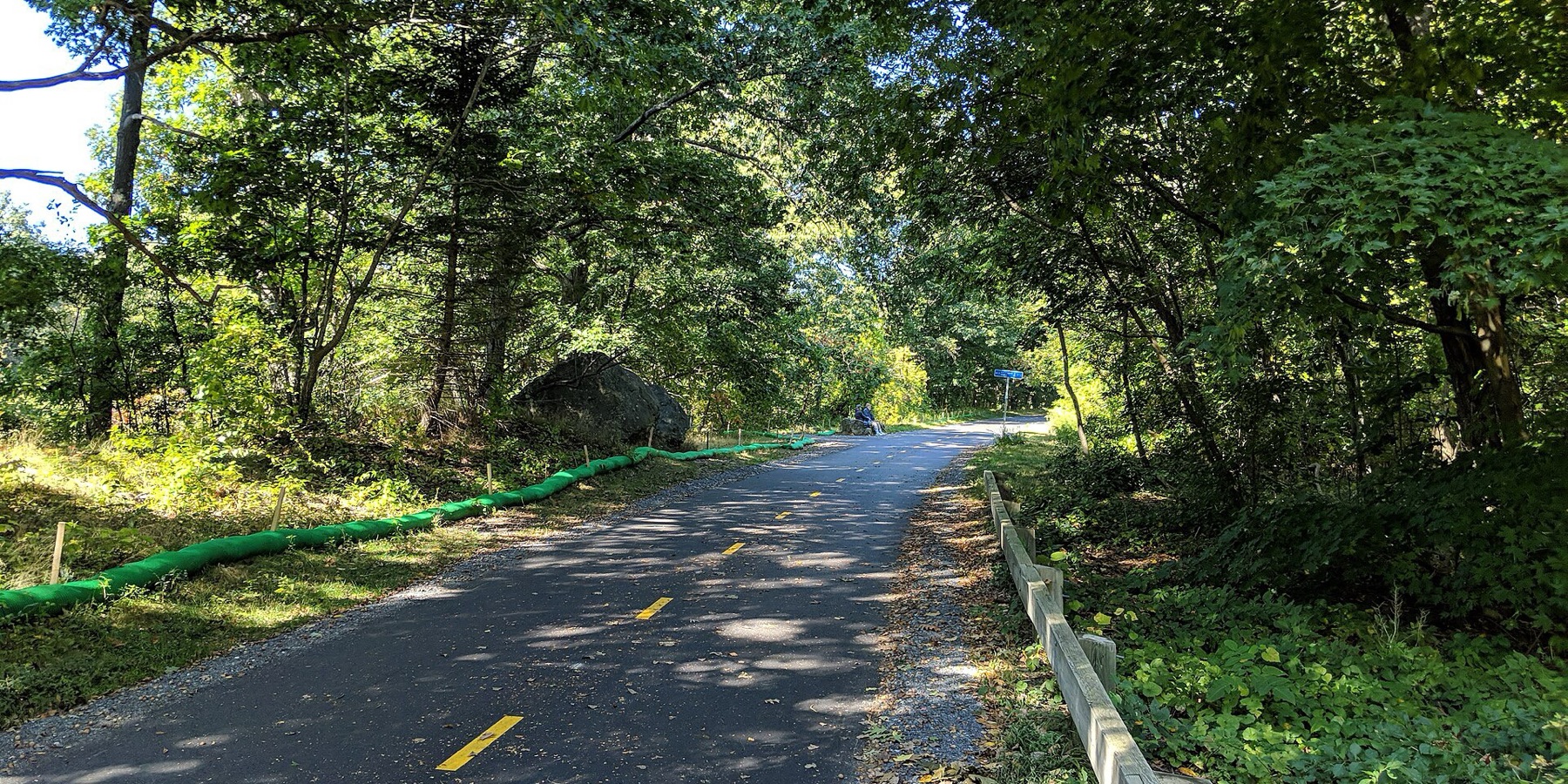
Starts 2.3 mi from central Belmont · Bike · 6.4 mi route · 42 min · Cambridge · Arlington · Bedford
Follow the road the British marched in 1775, Alewife to Lexington Center.
Trails in and near Belmont
Paths of their own for walking and biking, with where to get on.
- 0
- active trips so far in November
- 0
- active miles
- 0
- lbs CO₂ avoided*
- 0
- neighbors active so far in November
Belmont joins the Massachusetts board once it logs 20+ trips in a month. Shift Rate is the share of trips taken actively (walk, micromobility, transit). Counts cover November 1 through today, based on trips logged by Shift community members that start or end in Belmont — a growing sample, meant as an interesting local signal, not an official or census-level count. *CO₂ avoided is estimated from active miles traveled (EPA 404 g/mi baseline).
Momentum
Active trips in Belmont by week ending, last 5 completed weeks.
Friendly competition
Massachusetts towns by shift rate so far in November, the share of trips taken actively. Every town here has its own page: local stats, popular routes, events, and ways to get involved.
How Belmont moves
Trips and miles neighbors logged so far in November, by mode.
Share of trips
Share of miles
- Driving
- 1 trips · 37 mi
What is this?
Shift is a free app from Green Streets Initiative, a Somerville nonprofit since 2006, for finding better ways to get around. Every walk, bike ride and transit trip people take with Shift adds to Belmont's totals on this page. Shift counts trips on its own.
Put Belmont on the board.
Every walk, ride, and transit trip counts automatically. Download Shift free and put your trips on Belmont's board.


Community stats reflect trips by Shift community members that start or end in Belmont and refresh hourly. Municipalities and community groups can request aggregate data at info@gogreenstreets.org. A project of Green Streets Initiative, a 501(c)(3) nonprofit.