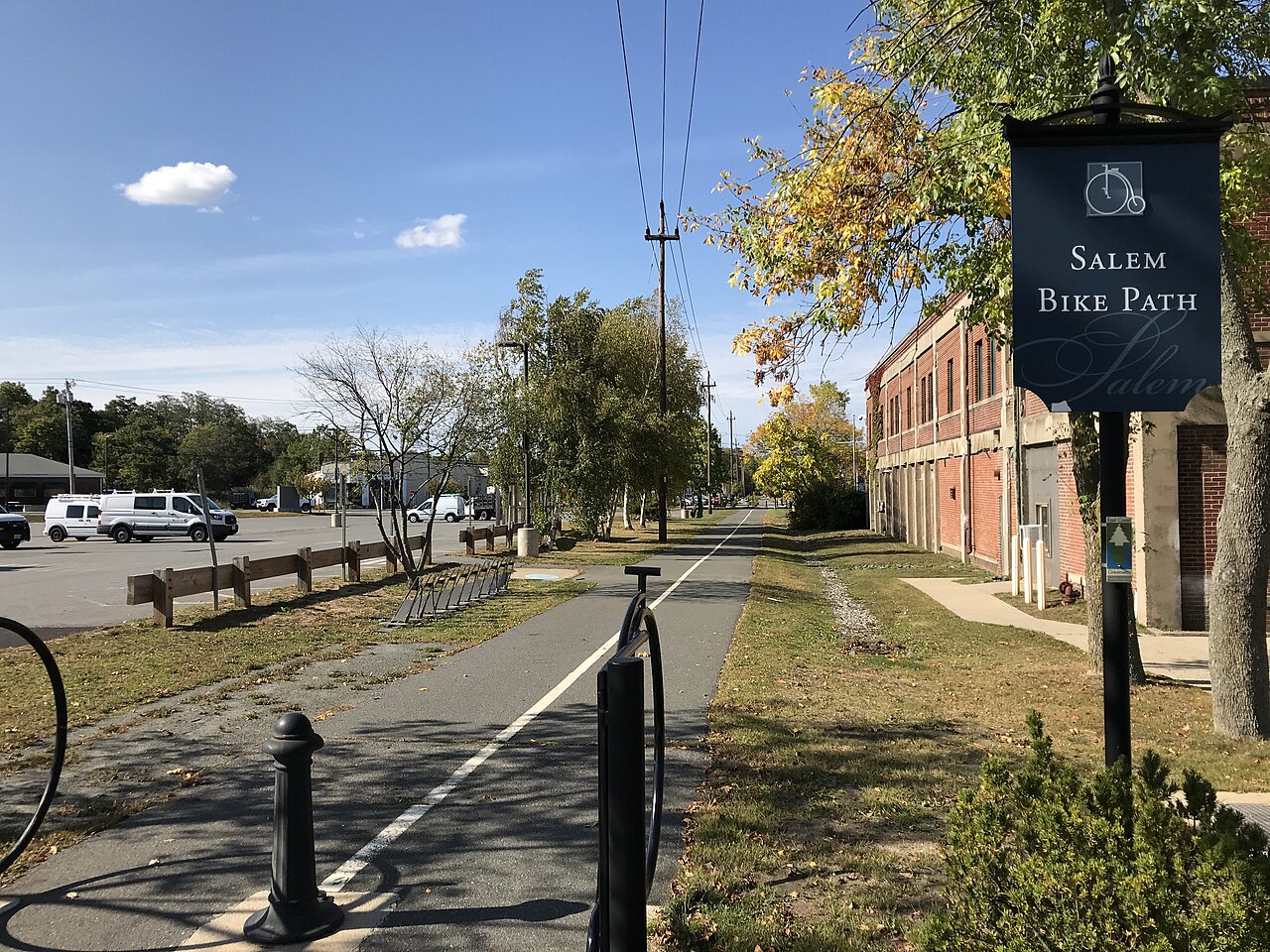
Salem Bike Path
A paved path beside the train tracks from downtown Salem, past Salem State University, to the Marblehead Rail Trail at the Marblehead line. It is part of the Border to Boston Trail.
- Length
- 1.7 mi
- rail trail
- Surface
- Paved
- the whole way
- Get on at
- 3 places
- on the map
From Mill Street to Lafayette Street
Parking at 1 of the 3 places to get on · See where
Open. No closures as of Nov 18, 2026.
Where to get on
Numbers match the list; P has parking.
Download the GPXFor Ride with GPS, Strava, Komoot or a bike computer.
Mill Street, downtown Salem
North end of the path, by the Bluebikes station 'Mayor Salvo Path at Mill St'. Downtown Salem and the train station are a few blocks north.
- MBTA buses 451 and 455 on New Derby Street (about 190 m). Buses 450 and 456 on Washington Street at New Derby Street (about 210 m). Salem station (Newburyport/Rockport Line) is about 0.4 mi north.
- Paid parking in downtown Salem, a few blocks north.
Loring Avenue at Salem State University
The path crosses Loring Avenue and Canal Street here, by Salem State's North Campus. Bluebikes station 'Salem State University - Bike Path at Loring Ave'.
- MBTA bus 455 on Loring Avenue and Lafayette Street.
Lafayette Street (Route 114) at the Marblehead line
South end of the path. The Marblehead Rail Trail (dirt and stone dust) carries on to Marblehead and Swampscott. Busy road crossing; use care.
- MBTA bus 455 on Loring Avenue (about 600 m).
Getting there
- By transit
- From Salem station (Newburyport/Rockport Line), it is about 0.4 mi south through downtown to the path at Mill Street.
MoreLess
MBTA buses 450, 451, 455 and 456 stop near the Mill Street end, and bus 455 runs along Loring Avenue and Lafayette Street near Salem State.
- Bike share
Near Mill Street, right now
- Mayor Salvo Path at Mill St1 min walk · 7 bikes
- Derby Street5 min walk · 5 bikes
- Parking
- The path has no lot of its own. Paid parking is a few blocks north of the Mill Street end, in downtown Salem. Salem State's lots beside the path need a university permit.
Keep going
The Salem Bike Path joins other paths and protected bike lanes. Pick a direction to see it on the map.
Salem Bike Path Where you can keep going Other bike paths
About the Salem Bike Path
- Surface
- Paved (asphalt) the whole way. Where it meets the Marblehead Rail Trail at Lafayette Street, the surface turns to dirt and stone dust.
- Food
- Shops and places to eat in downtown Salem, a few blocks from the Mill Street end.
- Who looks after it
- City of Salem. The Bicycling and Shared Path Advisory Committee advises the city on its paths.
- Also called
- Mayor Anthony V. Salvo Bike Path, Mayor Salvo Path, Salvo Multiuse Path
More about the trail
- Official page · salemma.gov
Where these facts come fromChecked Nov 18, 2026
- traillink.com/trail/mayor-anthony-v-salvo-multiuse-path
- salemma.gov/448/Bike-Planning-Projects
- salemma.gov/DocumentCenter/View/1877/Salem-Bicycle-Master-Plan-PDF
- trailspotting.com/2022/12/marblehead-salem-rail-trails-ma.html
- trailmap.mapc.org
- openstreetmap.org/way/56233539
- api-v3.mbta.com/stops
- gbfs.bluebikes.com/gbfs/en/station_information.json