Shift Towns · Massachusetts
Walking, biking & transit in Wakefield
See the routes Wakefield neighbors actually walk, ride and take transit on, what's happening locally, and how the town is trending — built from real trips logged in the Shift app.
Keep a pulse on Wakefield. New street projects, meetings worth your voice, and how Wakefield is moving. One or two emails a month.
Get involved in Wakefield
Safer streets are made by neighbors who speak up. Start small:
- Report a street problemDPW Highway Division→
- Read upcoming agendasWakefield Agenda Center→
- Sign up for town alertsWakefield Notify Me→
In Wakefield
City committees you can join
- Wakefield Complete Streets Initiative — The town's Complete Streets program page, explaining how Wakefield plans and funds street projects that work for people walking and biking, not just driving.
- Pedestrian & Bike Accessibility — Wakefield's page on walking and biking access, covering sidewalk, crossing and bike accommodation efforts around town.
Construction & closures
- Town of Wakefield News — The town's news feed, where upcoming roadwork, paving schedules and street closures are announced before they start.
Meetings & comment pathways
- Meetings & Events Schedule — A town-wide calendar of posted board and committee meetings in Wakefield, including dates, times and locations.
Your transportation department
- Wakefield Department of Public Works — The town department that maintains Wakefield's streets, sidewalks, signs and drainage, with staff contacts and division information.
Regional & statewide groups, 7 more
Advocacy groups
- LivableStreets Allianceregional — The Metro Boston advocacy group for people-centered streets and transit, whose research and comment letters cover projects across the region.
- TransitMattersstatewide — The transit advocacy group pushing for faster, more reliable buses and trains across Greater Boston, with data-driven campaigns anyone can join.
- Transportation for Massachusetts (T4MA)statewide — A statewide coalition of community groups advocating for safe, affordable, and reliable transportation choices in every corner of the state.
- WalkMassachusettsstatewide — The statewide walking advocacy organization that leads walk audits and pedestrian-safety campaigns, with open network meetings on Zoom the third Wednesday of each month.
- MassBikestatewide — The statewide bicycling coalition — a way to plug into bike advocacy, group rides, and Bike Month events across Greater Boston and beyond.
Commuter perks & fare help
- MBTA reduced faresstatewide — Reduced-fare programs for seniors, riders with disabilities, people aged 18–25 on low incomes, and middle and high school students. Most cut the fare roughly in half.
Get updates
- MBTA accessibility alertsstatewide — Live notices when an elevator or escalator is out of service, plus how to arrange a shuttle when one is. Worth subscribing to if a lift is part of how you get to the platform.
Events near Wakefield
A few picks over the next 30 days — the full calendar has everything.
Somerville Cycle & Social: Ride to Sam Adams Downtown
Tue, Nov 10 · Somerville Community Path behind Republic Fitness, Davis Square · 7.8 mi away
Beginner-friendlyFreeElm-Beacon Connector Mini-Ride
Sat, Nov 14 · Lou Ann David Park · 7.5 mi away
FreeFamily-friendlySomerville Cycle & Social: Final Weekly Ride, Esplanade Loop and Aeronaut
Tue, Nov 17 · Somerville Community Path behind Republic Fitness, Davis Square · 7.8 mi away
Beginner-friendlyFreeRoams to try
Self-guided routes. Preview the full route here, then check in at each stop in the Shift app to unlock the badge.

Starts 7.3 mi from central Wakefield · Bike · 9.3 mi route · 1 hr · Everett · Lynn
A paved rail trail from the Mystic River to Lynn, straight across the Rumney Marsh
 Photo by Alex Jones on Unsplash
Starts 7.8 mi from central Wakefield · Bike · 4.3 mi route · 29 min · Somerville · Cambridge
Davis Square to Lovejoy Wharf, end-to-end on the new Somerville extension.
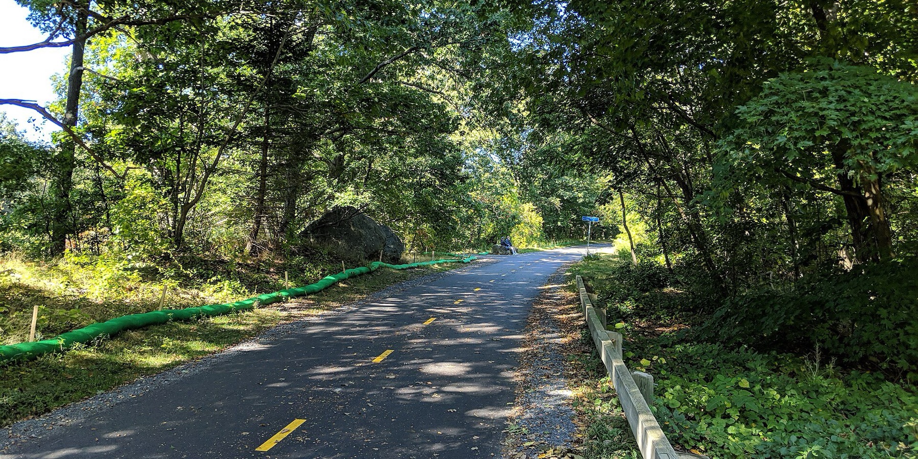
Starts 8.3 mi from central Wakefield · Bike · 6.4 mi route · 42 min · Cambridge · Arlington · Bedford
Follow the road the British marched in 1775, Alewife to Lexington Center.
- 8
- active trips so far in November
- 67.1
- active miles
- 60
- lbs CO₂ avoided*
- 2
- neighbors active so far in November
Wakefield joins the Massachusetts board once it logs 20+ trips in a month. Shift Rate is the share of trips taken actively (walk, micromobility, transit). Counts cover November 1 through today, based on trips logged by Shift community members that start or end in Wakefield — a growing sample, meant as an interesting local signal, not an official or census-level count. *CO₂ avoided is estimated from active miles traveled (EPA 404 g/mi baseline).
Momentum
Active trips in Wakefield by week ending, last 5 completed weeks, and climbing.
Friendly competition
Massachusetts towns by shift rate so far in November, the share of trips taken actively. Every town here has its own page: local stats, popular routes, events, and ways to get involved.
How Wakefield moves
Trips and miles neighbors logged so far in November, by mode.
Share of trips
Share of miles
- Biking & scooting
- 3 trips · 4.5 mi
- Train
- 5 trips · 62.6 mi
- Driving
- 8 trips · 138.5 mi
What is this?
Shift is a free app from Green Streets Initiative, a Somerville nonprofit since 2006, for finding better ways to get around. Every walk, bike ride and transit trip people take with Shift adds to Wakefield's totals on this page. Shift counts trips on its own.
Put Wakefield on the board.
Every walk, ride, and transit trip counts automatically. Download Shift free and put your trips on Wakefield's board.


Community stats reflect trips by Shift community members that start or end in Wakefield and refresh hourly. Municipalities and community groups can request aggregate data at info@gogreenstreets.org. A project of Green Streets Initiative, a 501(c)(3) nonprofit.