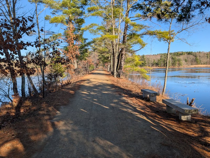
 Photo courtesy of MassTrails10 / MassDOT
Wachusett Greenways (Mass Central Rail Trail)
Rock cuts, tunnel murals, and the Quabbin-Wachusett water connection
Follow this roam in the free Shift app
Shift guides you along the route, checks you in at each stop automatically, and unlocks the Wachusett Wanderer badge when you finish.


Part of the MassTrails 10
Ten signature shared-use trails across Massachusetts, selected by MassDOT and DCR for 2026. Complete them all to earn the Trail Master badge. Complete all 0 routes to earn the Trail Master badge.
An 8.6-mile stretch of the Mass Central Rail Trail through Central Massachusetts' rolling countryside. Features dramatic rock cuts, tunnel murals, and the Ware River intake that connects the Quabbin to Greater Boston's water supply.
Numbered pins are the roam's stops; gold rings are bonus stops. Check in at each stop in the Shift app to complete the roam.
The route
Visit 5 of 6 stops to complete this roam
Moulton Pond Overlook
Starting point
A scenic pond with fishing access and canoe launch, framed by pine barrens
Learn more →Route: Mass Central Rail Trail — protected bike lane (0.2 mi)
Route: Mass Central Rail Trail — protected bike lane (1.2 mi)
Route: Mass Central Rail Trail — protected bike lane (0.1 mi)
Charnock Hill Road Tunnel
Second tunnel with another McCandless mural depicting local wildlife and history
Learn more →Route: Mass Central Rail Trail — protected bike lane (5 mi), Route — shared road (0.2 mi)
Ware River Intake Station
The engineering marvel connecting the Quabbin Reservoir to the Wachusett system for Greater Boston's water supply
Learn more →Route: Mass Central Rail Trail — protected bike lane (0.3 mi)
Ware River Railroad Bridge
Final stop
A historic railroad bridge crossing the Ware River at the trail's western terminus
Learn more →How it works
A roam is a guided, self-paced adventure you follow in the free Shift app.
Follow the route
Open this roam in the Shift app and follow the turn-by-turn route at your own pace.
Check in at each stop
The app detects when you arrive and checks you in automatically. No scanning, no codes.
Earn the Wachusett Wanderer badge
Complete the roam to earn the Wachusett Wanderer badge and 10 XP. Finish all 0 routes in the MassTrails 10 for a bonus badge.