Clipper City Rail Trail
A flat, paved loop from the Newburyport train station to the Merrimack River and back
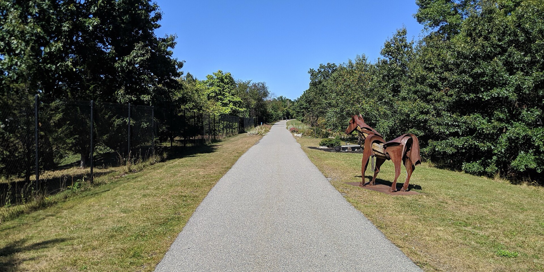
The Clipper City Rail Trail makes a loop from the Newburyport train station to the Merrimack River on old rail lines. Ride past sculptures to the range lights on Water Street, roll along the waterfront boardwalk, and follow the Harborwalk out to Cashman Park. Then take the trail south past more art back to the station. It is about 4.6 flat miles, or 35 minutes of riding.
- Length
- 4.6 mi
- loop
- Time
- 35 min
- by bike
- Stops
- 4 stops
- plus 2 bonus
Starts and ends at Newburyport station · Directions
Unlock the Clipper City badge
The route, stop by stop
On this route:Clipper City Rail Trail· 3.5 mi
Numbered pins are the stops; gold rings are optional detours.
Ride it with Shift, free
A map of the route, directions to each stop in your maps app, and automatic check-in when you arrive. Finish to unlock the Clipper City badge.


Stop 1: Newburyport station
Start
The loop starts and ends here, at the last stop on the Newburyport/Rockport Line. Follow the path north to Parker Street to pick up the rail trail.
About this stopNext: Bike to Range lights on Water Street
2 mi · 13 min
2 mi separated path
- Hills
- Flat, no real climbs
Stop 2: Range lights on Water Street
Two lighthouses built in 1873 stand a block apart here. Ships lined one up above the other to steer into the harbor.
About this stopNext: Bike to Waterfront Park boardwalk
0.2 mi · 1 min
0.2 mi separated path
- Hills
- Flat, no real climbs
Stop 3: Waterfront Park boardwalk
A 1,100-foot wooden boardwalk along the Merrimack River, with benches and boats, a block from downtown.
About this stopNext: Bike to Cashman Park
0.7 mi · 5 min
0.7 mi separated path
- Hills
- Flat, no real climbs
Stop 4: Cashman Park
The Harborwalk ends at this riverside park with a boat ramp and a big buoy sculpture. On the way you pass the sculptures under the Route 1 bridge.
About this stopNext: Bike to Back at the station (loop complete)
1.7 mi · 11 min
1.7 mi separated path
- Hills
- Flat, no real climbs
Stop 5: Back at the station (loop complete)
Back at the start
Ride the rail trail south past more sculptures back to the station, where trains leave for North Station.
About this stop
Bonus stops
Optional detours near the route, worth the extra few minutes.
Custom House Maritime Museum
The 1835 granite custom house on Water Street is now a museum about Newburyport's ships, sailors and the Coast Guard.
About this stopMarket Square
Newburyport's brick downtown, rebuilt after the fire of 1811, with cafes and shops one block from the river.
About this stop
Getting there
- By transit, bike or on foot
- The loop starts and ends at Newburyport station, the last stop on the Newburyport/Rockport Line, about an hour from North Station. Not every train takes bikes; the list on this page shows the next ones that do. Bluebikes does not reach Newburyport. In season, the city's Port Bikeshare has bikes with a built-in lock across Parker Street from the station and at Market Landing Park.
- Parking
- The paid MBTA lot at Newburyport station on Parker Street is at the start of the loop. There is free street parking at the High Street trailhead.
- Surface
- Paved and flat almost the whole way, on old rail beds. The waterfront boardwalk and the Harborwalk out to Cashman Park are shared with walkers and have wood planks in places, so ride slowly there.
How it works
A roam is a self-guided route you follow at your own pace in the free Shift app.
Follow the route
Open this roam in the Shift app and follow it at your own pace.
Check in at each stop
The app checks you in when you arrive. No scanning, no codes. Visit 4 of the 5 stops and the roam is complete.
Unlock the Clipper City badge
Finish the roam and the Clipper City badge is yours.