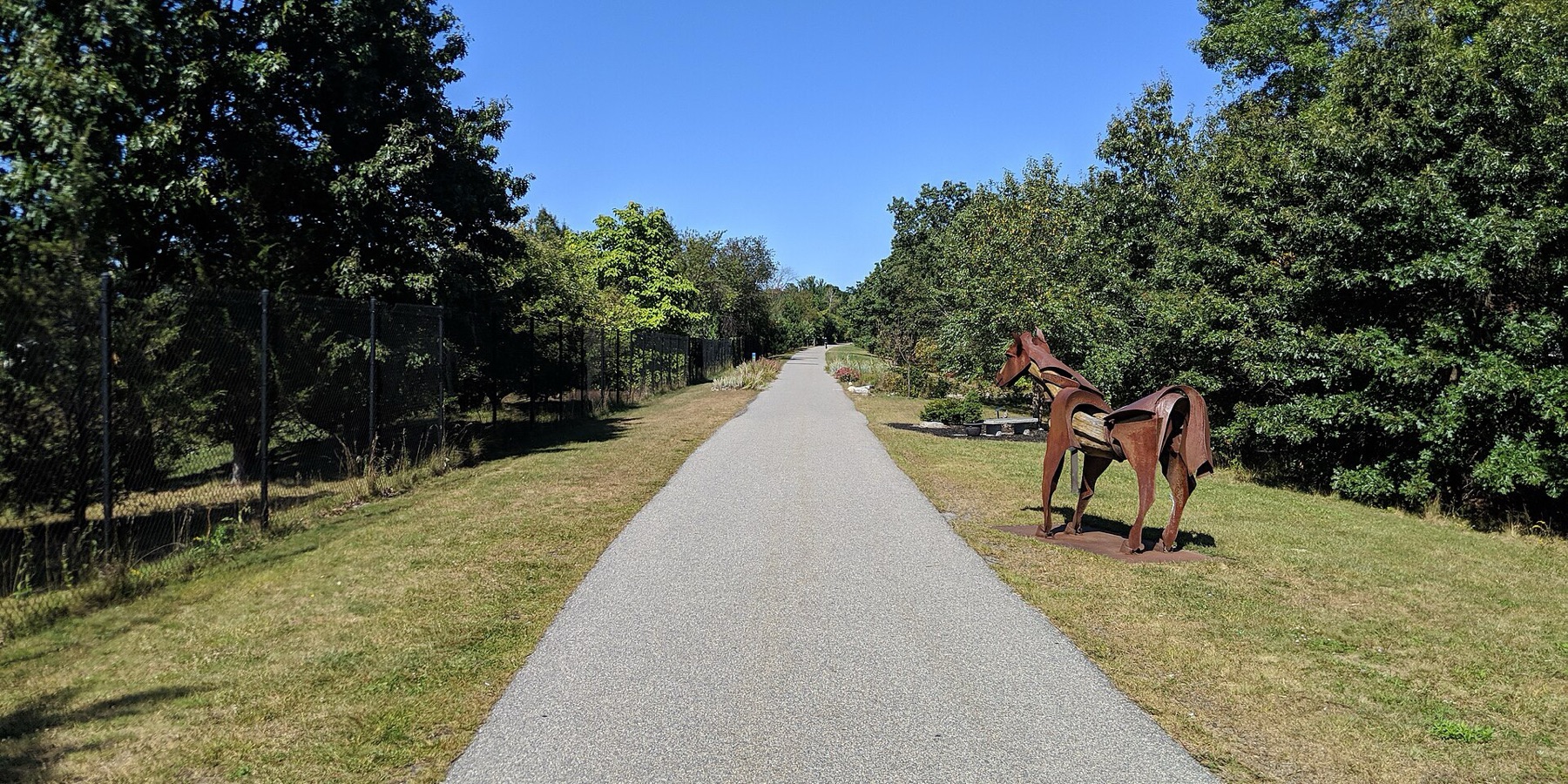
Clipper City Rail Trail
The Clipper City Rail Trail is a paved loop of about 3.4 miles that links the Newburyport train station, downtown and the Merrimack River waterfront. People use it to walk or bike from the train to downtown and to ride an easy loop past the harbor.
- Distancia
- 3.4 mi
- rail trail
- Superficie
- Pavimentada
- todo el camino
- Dónde entrar
- 8 lugares
- en el mapa
Circuito por Newburyport, Newbury
Estacionamiento en 5 de los 8 lugares para entrar · Ver dónde
Tren de regreso desde la estación Newburyport · Próximos trenes
Abierto. Sin cierres al 19 oct 2026.
Dónde entrar
Los números corresponden a la lista; P tiene estacionamiento.
Descargar el GPXPara Ride with GPS, Strava, Komoot o un ciclocomputador.
Newburyport MBTA station
Southern start of the loop. Port Bikeshare has a station near the commuter rail station.
- Newburyport station, Newburyport/Rockport Line commuter rail (about 200 m)
- Paid MBTA lots.
Low Street (Graf Skating Rink)
The trail goes over Low Street on a bridge here.
- Free parking at the Graf Skating Rink, west of the trail. A paved connector runs from behind the rink to the trail.
Washington Street
Port Bikeshare has a station on Washington Street.
- Limited on-street parking. Free parking at Cushing Park on Kent Street nearby.
Merrimack River end, Gillis Bridge connector and Harborwalk
North end of the first phase. The Harborwalk heads west along the river, and a connector goes up to the Route 1 Gillis Bridge to Salisbury's trails.
Cómo llegarDowntown waterfront boardwalk (Market Landing Park)
Boardwalk along the downtown waterfront. Port Bikeshare stations at Market Landing Park and next to the American Yacht Club.
- MeVa Transit routes 19 and 20 run hourly between the train station and downtown
Joppa, Water Street
Riverfront section through the South End, opened in 2021 after shoreline work.
Cómo llegarHigh Street (Route 1A)
Trail passes under High Street.
- Free on-street parking on High Street.
Parker Street at State Street (Oak Hill Cemetery)
Last link of the loop, back toward the station. Signal-controlled crossings on Parker and State streets.
- A few free spaces on Parker Street.
Cómo llegar
- En transporte público
- Newburyport station (Newburyport/Rockport Line commuter rail) sits at the south end of the loop.
MásMenos
From the station it is about a 1 mile walk on the trail to downtown. MeVa Transit routes 19 and 20 run hourly between the station and downtown.
- Bicis compartidas
- Port Bikeshare (a city pilot started November 2025, relaunched April 2026) has five stations: near the MBTA station, on Washington Street, at Market Landing Park, next to the American Yacht Club, and off High Street at March's Hill.
MásMenos
No Bluebikes here.
- Estacionamiento
- Free parking at the Graf Skating Rink on Low Street, at Cushing Park on Kent Street, on High Street and a few spaces on Parker Street.
MásMenos
Paid parking in the MBTA station lots. Washington Street has limited on-street parking.
Ida en bici, vuelta en tren
Recorre el sendero en una dirección y regresa en el tren de cercanías. La estación Newburyport está justo en el sendero.
Un Roam en este sendero
Un Roam es una ruta autoguiada con paradas en el camino. La app gratuita Shift registra tu llegada a cada parada y al final desbloqueas una insignia.
Todo el sendero
Clipper City Rail Trail
A flat, paved loop from the Newburyport train station to the Merrimack River and back
4.6 mi 35 minEn la app Shift
Descarga Shift, gratis. Sigue un Roam con indicaciones paso a paso a cada parada y mira los cierres de tus senderos antes de salir.


Sigue adelante
Clipper City Rail Trail conecta con otros caminos y carriles bici protegidos. Elige una dirección para verla en el mapa.
Este sendero Por dónde seguir Otras ciclovías
Sobre Clipper City Rail Trail
- Superficie
- Paved the whole loop. Some waterfront parts are wooden boardwalk, and the Harborwalk along the Merrimack River is a mix of paths and boardwalk.
- Quién lo mantiene
- City of Newburyport (Office of Planning and Development)
- También llamado
- Clipper City Rail Trail and Harborwalk, Newburyport Rail Trail, Newburyport Harborwalk, Border to Boston Trail (Newburyport)
Más sobre el sendero
- Página oficial · cityofnewburyport.com
- Amigos del sendero · coastaltrails.org
De dónde vienen estos datosRevisado el 19 oct 2026
- cityofnewburyport.com/planning-development/clipper-city-rail-trail-harborwalk
- coastaltrails.org/the-trail-network/clipper-city-rail-trail-newburyport
- coastaltrails.org/whats-new
- coastaltrails.org/2018-ctc-progress-report
- newburyportnews.com/news/local_news/city-last-section-of-rail-trail-almost-done/article_827109d8-76a9-11ef-b4f8-e76a81adb518.html
- thetowncommon.com/2021/06/12/waterfront-rail-trail-gap-now-open
- mass.streetsblog.org/2026/10/19/mbta-will-run-special-rails-and-trails-excursion-train-to-newburyport-on-nov-7
- ncmhub.org/2026/04/01/newburyport-celebrates-relaunch-of-port-bikeshare-program
- traillink.com/trail/clipper-city-rail-trail
- trailspotting.com/2023/04/newburyport-rail-trails-ma.html
- api-v3.mbta.com/stops
- https://www.openstreetmap.org (Overpass API, Clipper City Rail Trail and Harborwalk ways)