Shift 城镇 · Massachusetts
Lynn的步行、骑行和公共交通
看看Lynn的邻居们实际步行、骑行和乘坐公共交通走的路线,了解本地动态和城镇的出行趋势——全部来自 Shift 应用中记录的真实出行。
关注Lynn动态。 新的街道项目、值得发声的会议,以及Lynn的出行动态。每月一到两封邮件。
参与Lynn的事务
更安全的街道,来自敢于发声的邻居。从小事做起:
在Lynn
倡导团体
- Bike to the Sea — A volunteer nonprofit that built and continues to push for the Northern Strand Community Trail, the off-road walking and biking path that runs into Lynn toward the ocean.
本地交通部门
- Lynn Department of Public Works — The city department that maintains Lynn's streets, sidewalks, drainage, and street signs, and handles paving and snow removal requests.
- Lynn Road Work and Street Paving — A city page showing which Lynn streets are scheduled for paving and infrastructure work so residents can see planned construction on their block.
地区和全州群组,另有 7 个
倡导团体
- LivableStreets Alliance地区 — The Metro Boston advocacy group for people-centered streets and transit, whose research and comment letters cover projects across the region.
- TransitMatters全州 — The transit advocacy group pushing for faster, more reliable buses and trains across Greater Boston, with data-driven campaigns anyone can join.
- Transportation for Massachusetts (T4MA)全州 — A statewide coalition of community groups advocating for safe, affordable, and reliable transportation choices in every corner of the state.
- WalkMassachusetts全州 — The statewide walking advocacy organization that leads walk audits and pedestrian-safety campaigns, with open network meetings on Zoom the third Wednesday of each month.
- MassBike全州 — The statewide bicycling coalition — a way to plug into bike advocacy, group rides, and Bike Month events across Greater Boston and beyond.
通勤福利和票价补助
- MBTA reduced fares全州 — Reduced-fare programs for seniors, riders with disabilities, people aged 18–25 on low incomes, and middle and high school students. Most cut the fare roughly in half.
获取最新消息
- MBTA accessibility alerts全州 — Live notices when an elevator or escalator is out of service, plus how to arrange a shuttle when one is. Worth subscribing to if a lift is part of how you get to the platform.
Lynn附近的活动
未来 30 天的几项精选,完整日历里有全部活动。
Transportation Commission Meeting
11月18日周三 · Salem, MA 01970 · 距离 4.9 英里
Monthly Meeting: November 2026
11月19日周四 · Leading Edge Real Estate – Community Space, 536 Main St, Melrose, MA, 02176, United States · 距离 5.6 英里
免费倡导Bicycling and Shared Path Advisory Committee
12月2日周三 · Salem, MA 01970 · 距离 4.9 英里
免费值得一试的 Roam
自助路线。在这里预览完整路线,然后在 Shift 应用中逐站打卡,解锁徽章。
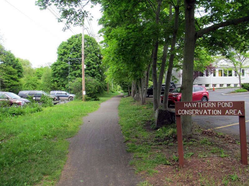 Photo: Pi.1415926535 / Wikimedia Commons, CC BY-SA 4.0
起点距Lynn市中心 4 英里 · 骑行 · 全程 5.5 英里 · 39 分钟 · Marblehead · Swampscott
Two historic seaports, tide pools, and a thousand years of stories

起点距Lynn市中心 7.7 英里 · 骑行 · 全程 9.3 英里 · 1 小时 · Everett · Lynn
A paved rail trail from the Mystic River to Lynn, straight across the Rumney Marsh
 Photo by Brett Wharton on Unsplash
起点距Lynn市中心 8.1 英里 · 步行 + 公交 · 全程 1.7 英里 · 1 小时 · East Boston
Boston's best-kept-secret Harborwalk + Latin American food scene.
Lynn及周边的步道
专供步行和骑行的道路,附上入口位置。
- 0
- 十一月至今的主动出行
- 0
- 主动里程(英里)
- 0
- 磅 CO₂ 减排*
- 0
- 十一月至今活跃的邻居
Lynn在一个月内记录 20 次以上出行后,即可进入Massachusetts排行榜。 Shift Rate 是主动出行(步行、微出行、公共交通)占全部出行的比例。统计范围为11月1日至今,依据 Shift 社区成员记录的、起点或终点在Lynn的出行——这是一个不断增长的样本,仅作为有参考价值的本地信号,并非官方或人口普查级别的统计。*CO₂ 减排量根据主动出行里程估算(EPA 基准:404 克/英里)。
趋势
Lynn每周主动出行次数(按周末日期),最近 5 个完整周。
友好竞赛
十一月至今Massachusetts各城镇的 Shift Rate 排名,即主动出行所占比例。 这里的每个城镇都有自己的页面:本地数据、热门路线、活动和参与方式。
这是什么?
Shift 是一款免费应用,来自 Green Streets Initiative(自 2006 年起扎根 Somerville 的非营利组织),帮你找到更好的出行方式。人们用 Shift 完成的每次步行、骑行和公共交通出行,都会计入本页Lynn的总数。Shift 会自动记录出行。
让Lynn登上榜单。
每次步行、骑行和公共交通出行都会自动计入。免费下载 Shift,把你的出行加到Lynn的榜单上。


社区数据反映起点或终点在Lynn的 Shift 社区成员出行,每小时更新。市政部门和社区团体可通过 info@gogreenstreets.org 申请汇总数据。本项目由 501(c)(3) 非营利组织 Green Streets Initiative 运营。